There was a gym downstairs from a small company where I used to work. I would use their locker room to change before lunchtime runs. A very fit older fellow handed out towels and locker keys. Nice guy. He would sometimes wear a t-shirt that said: The older I get, the faster I was.
Which brings me to day two at Capitol Reef. Back in the day, wherever I found myself, I would seek out the hardest, most challenging activity that I might have a reasonable chance of completing. Run up Mt. Victoria in Hong Kong with the temperature in the 90s? Sure, why not? Cycle 100 mile days with fully loaded panniers in the highlands of Scotland? Aye, laddie. You get the drift. Some of you were exactly the same. Possibly still are.
Not me, boy! Most of my activity on this road trip has been limited to short walks between one and four miles. With the exception of the hike to Delicate Arch, there hasn’t even been much elevation gain. I like to think that these slow, dignified strolls befit a gentleman of my advanced years.
Also, I’ve gotten kind of lazy.
All this is to say that 1000 feet of climbing in about five miles was harder than I’ve worked in a while. Good thing a cherry pie was involved.
First a disclaimer. The photo at the top of this post has nothing to do with Capitol Reef. I took it just after sunrise from the balcony of our room in nearby Torrey, Utah.
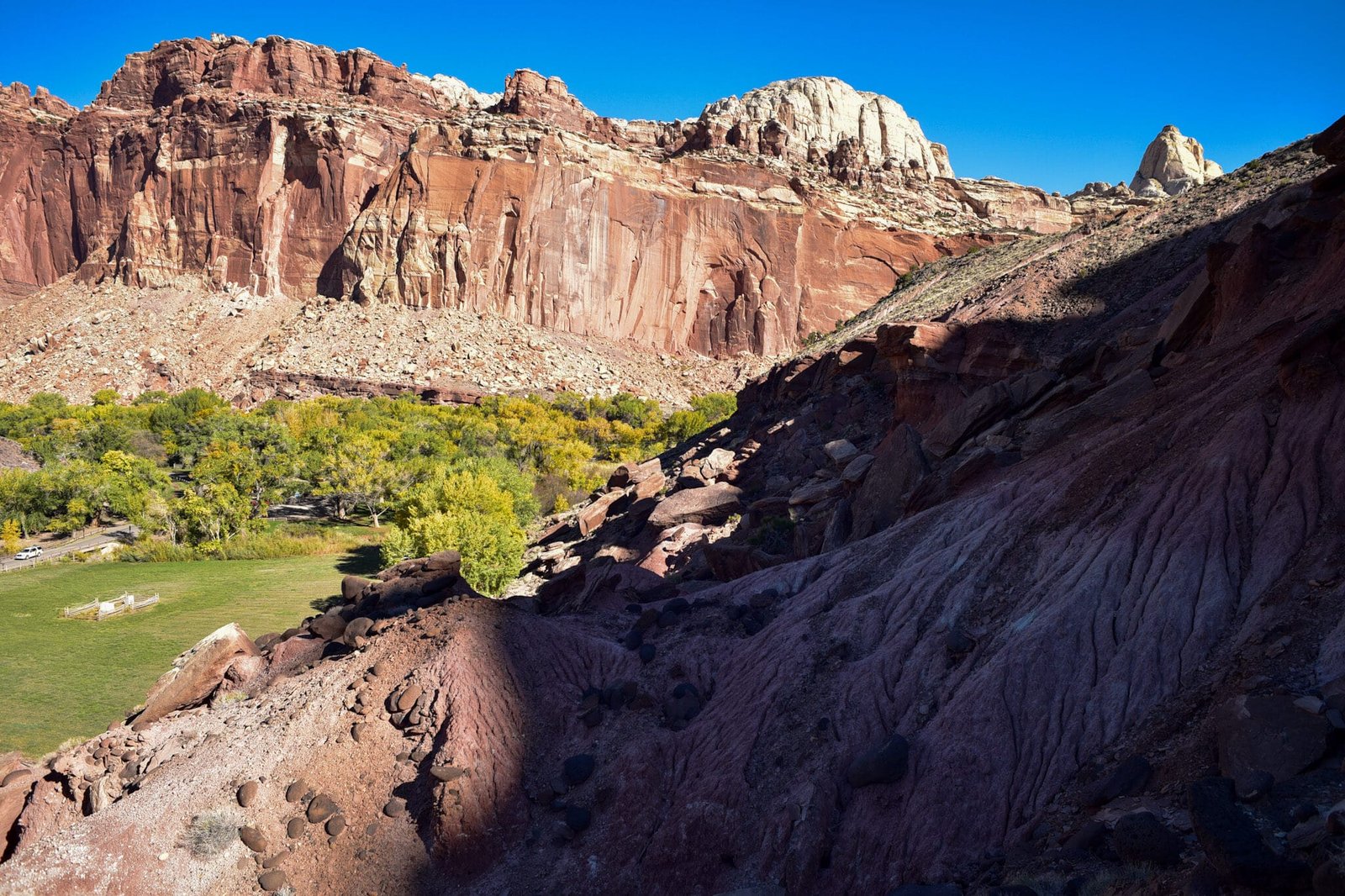
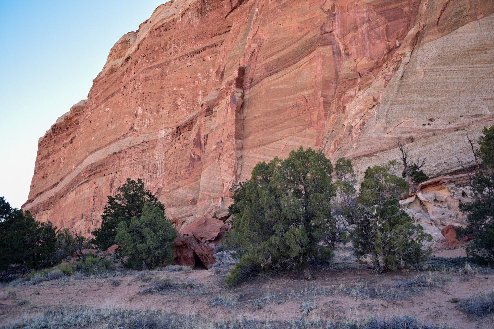
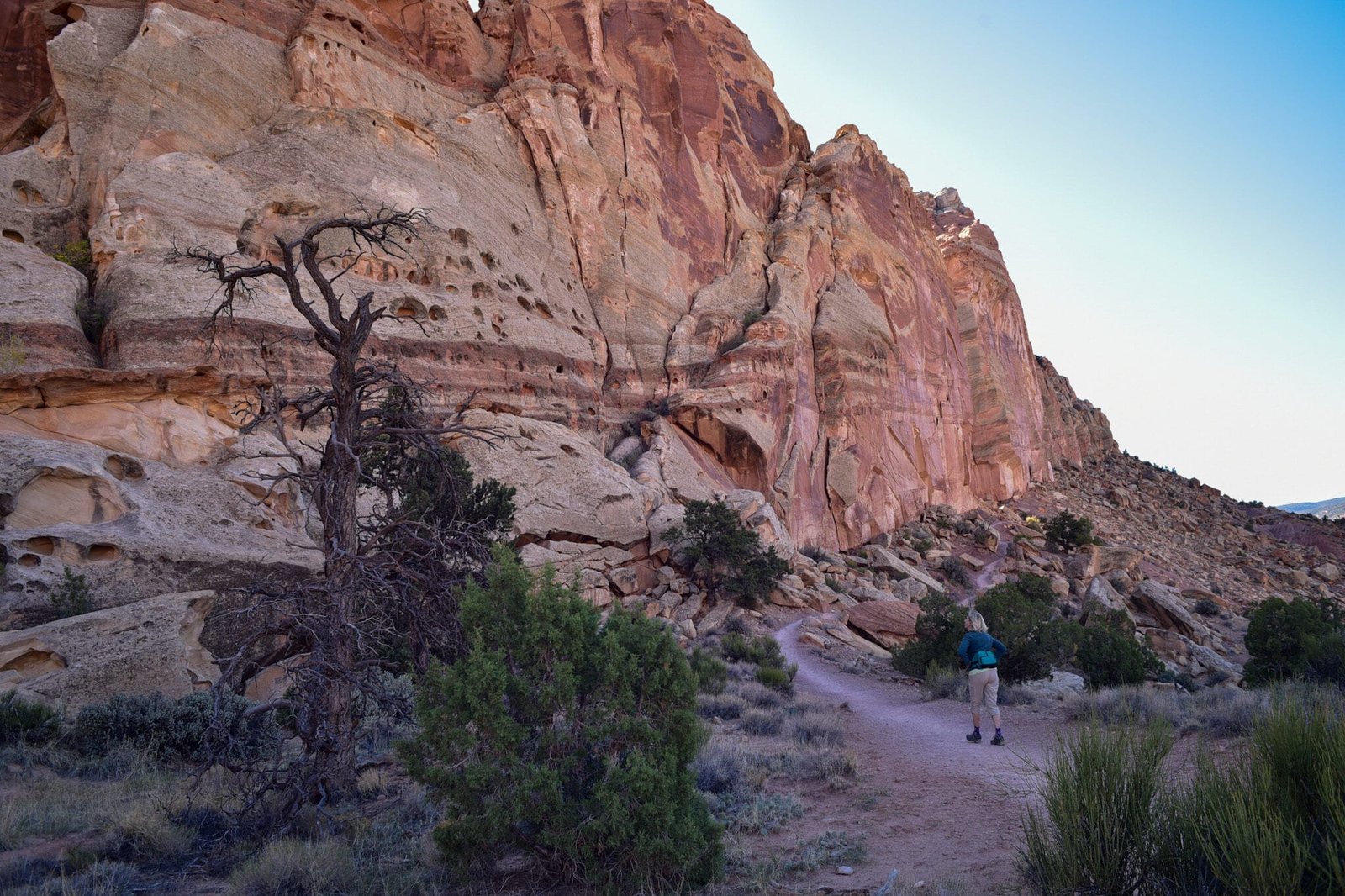
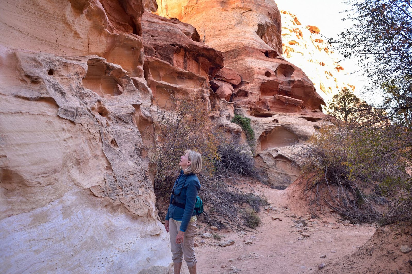
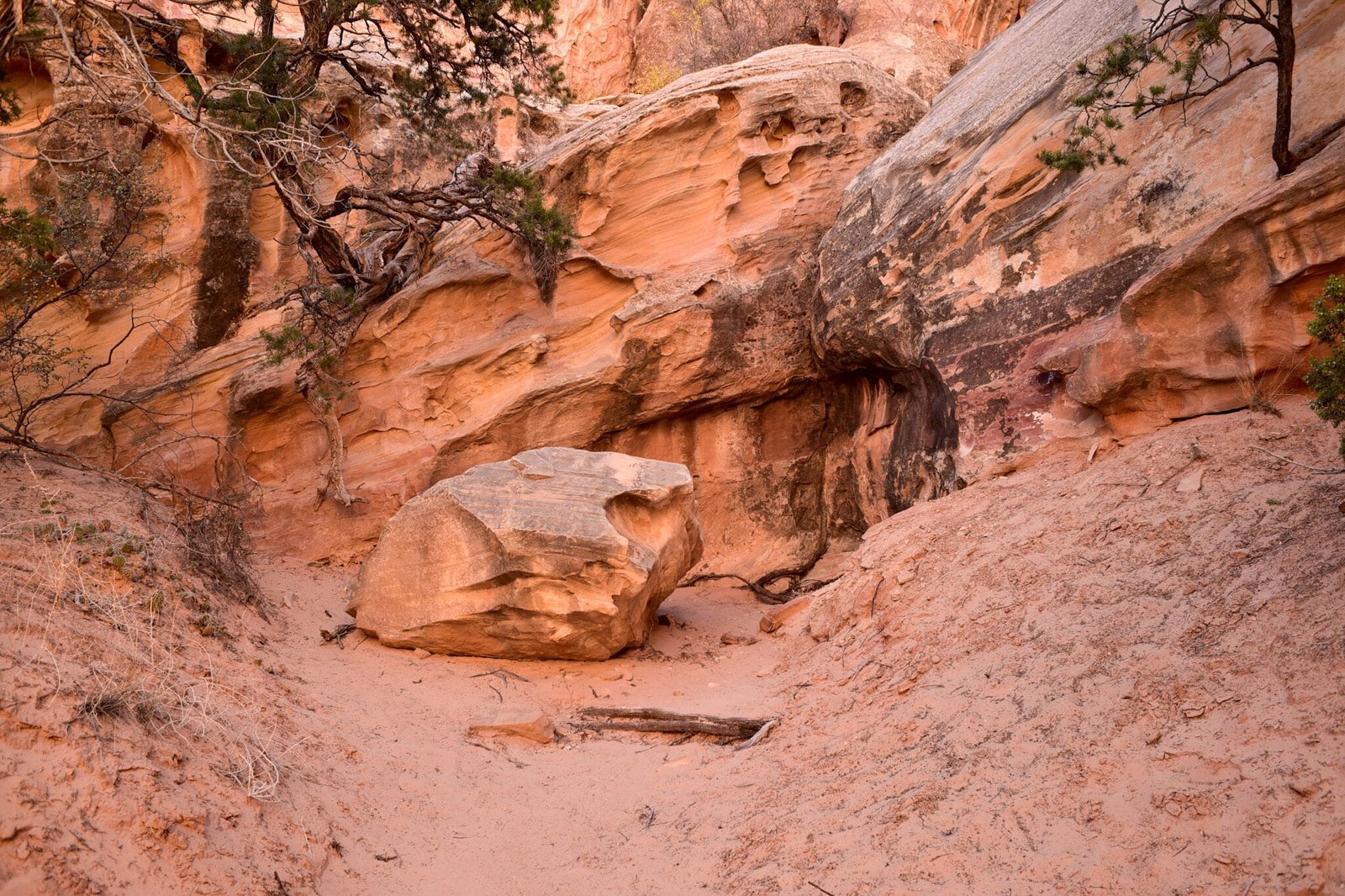
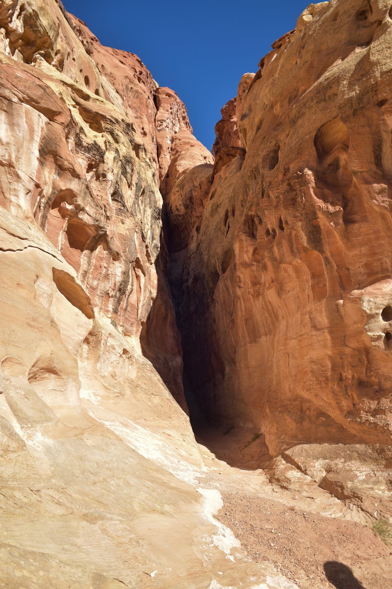
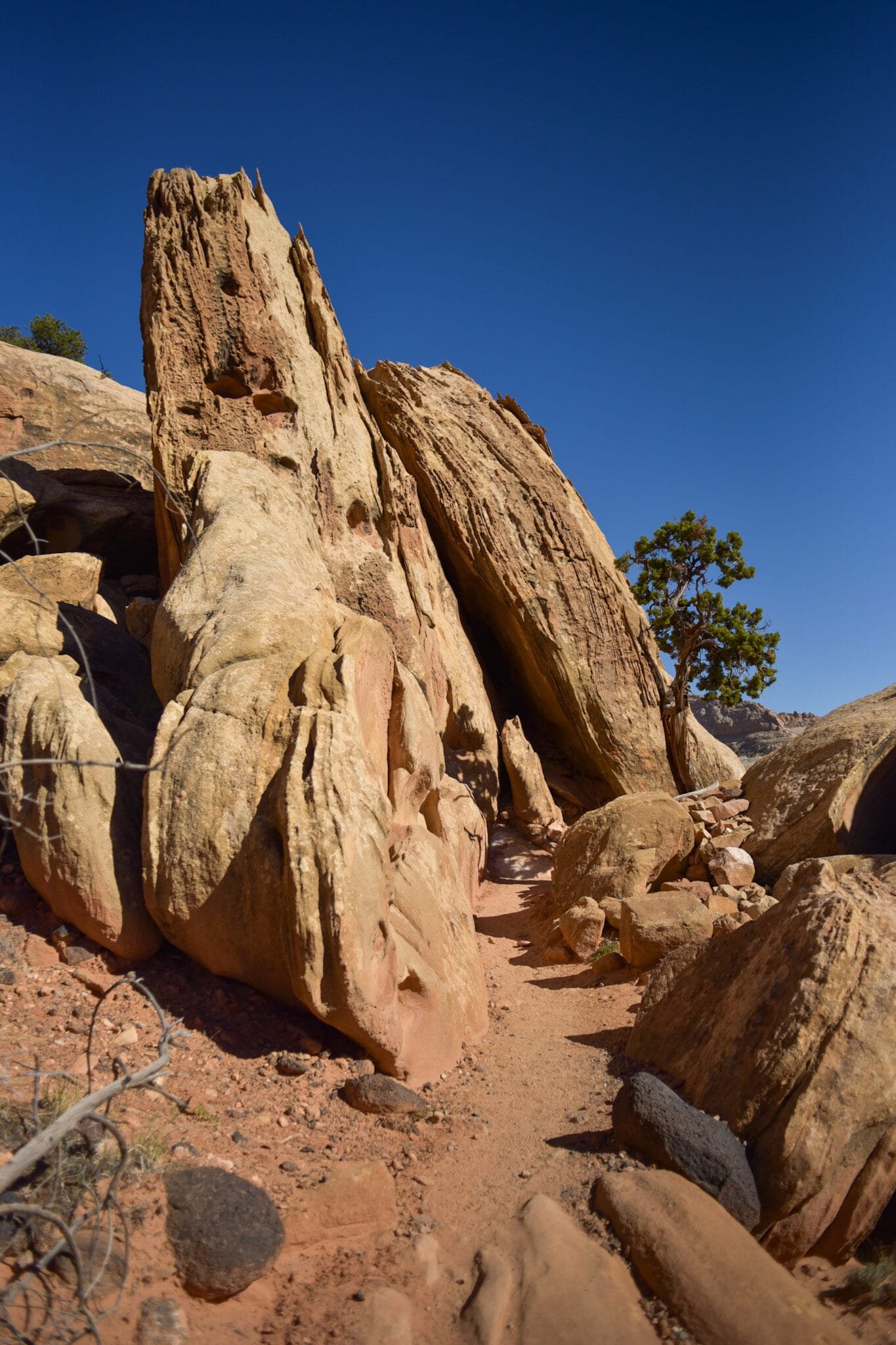
Our first hike of the day was through Cohab Canyon. The trail started off with a bang, about 250 vertical feet of switchbacks, then leveled out into a shady walk between the canyon walls. For a while. At the other end of the canyon, we decided to do some more climbing to a pair of valley overlooks.

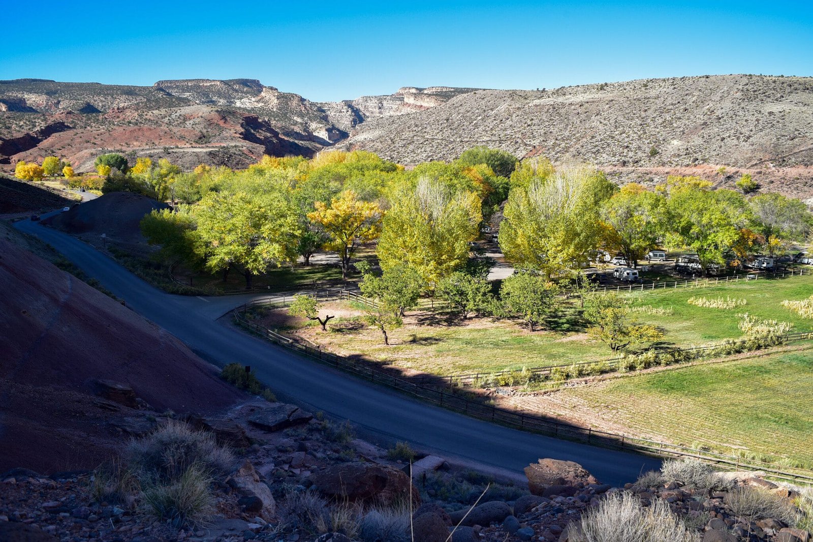
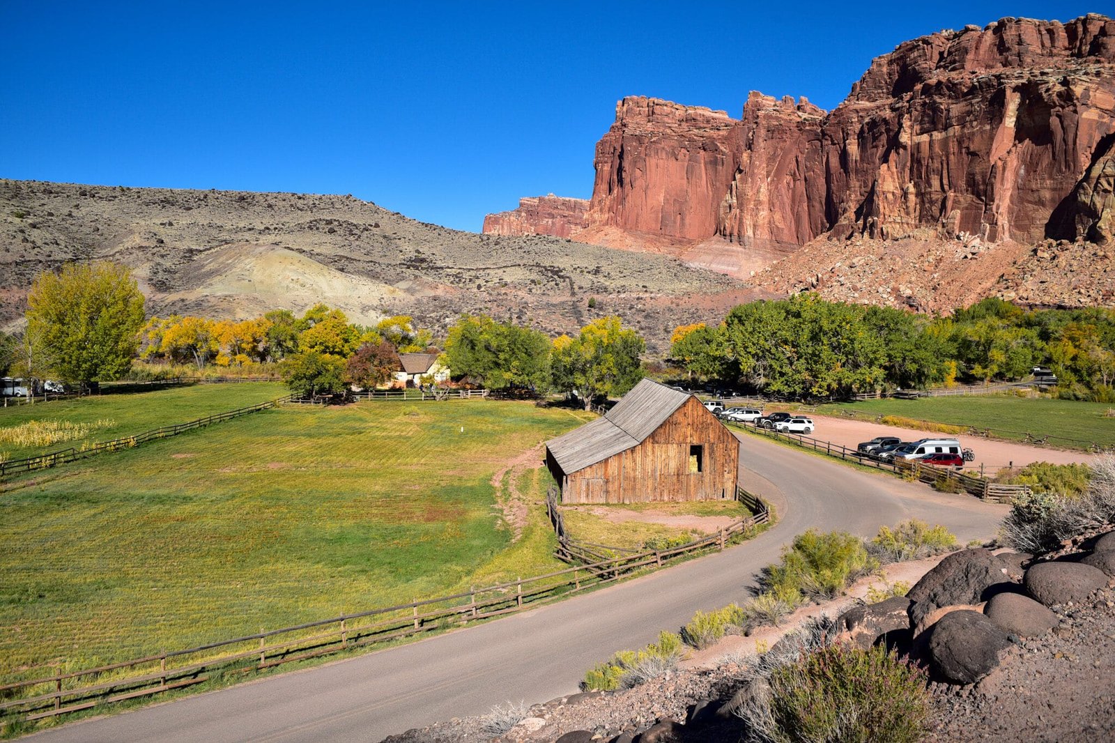
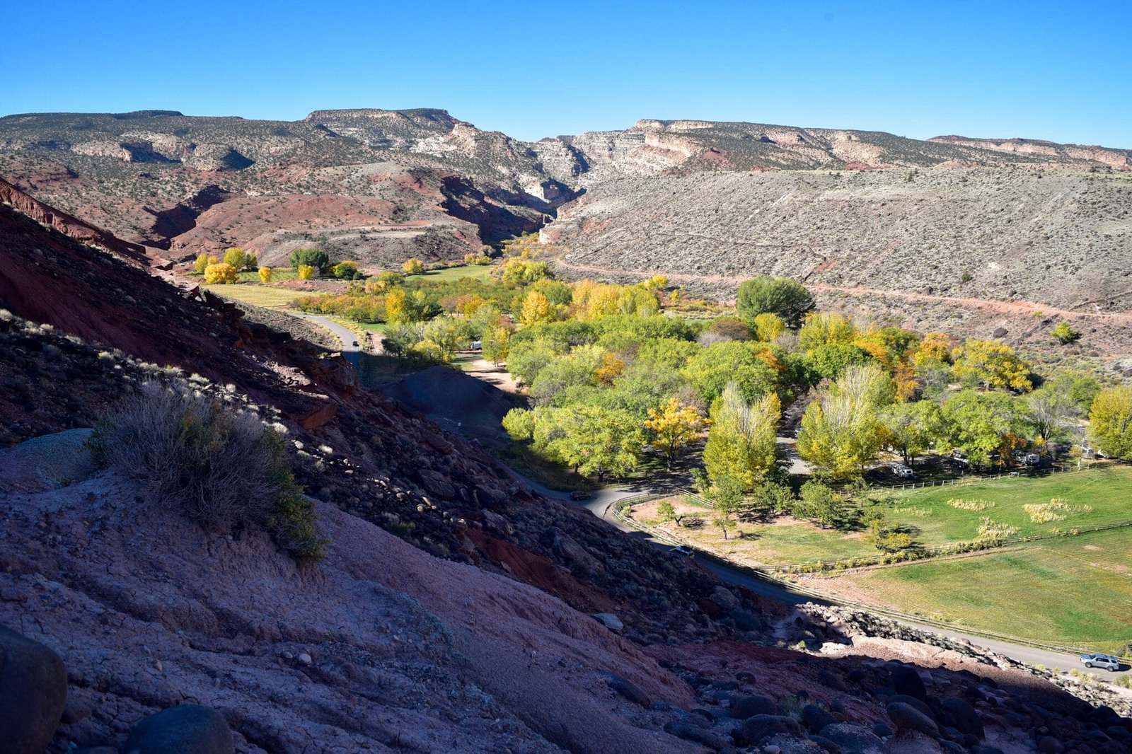
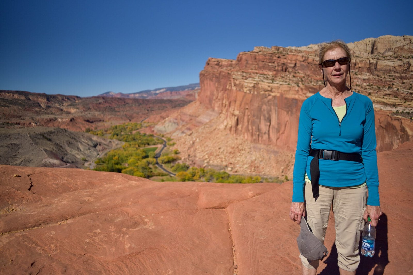
The initial climb gave us good views of the Fruita orchards and buildings.

End of the switchbacks.

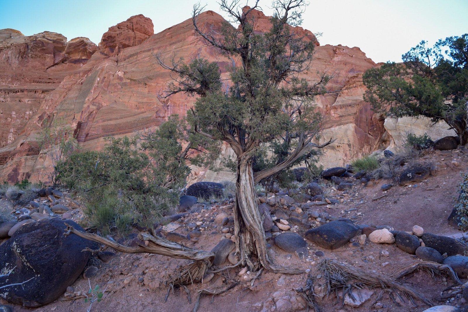
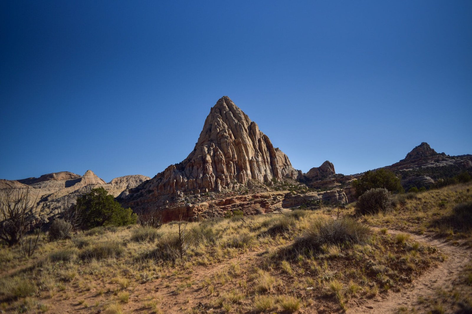
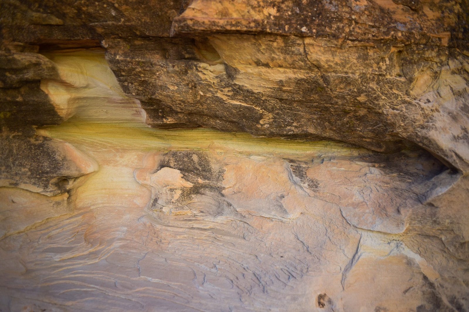
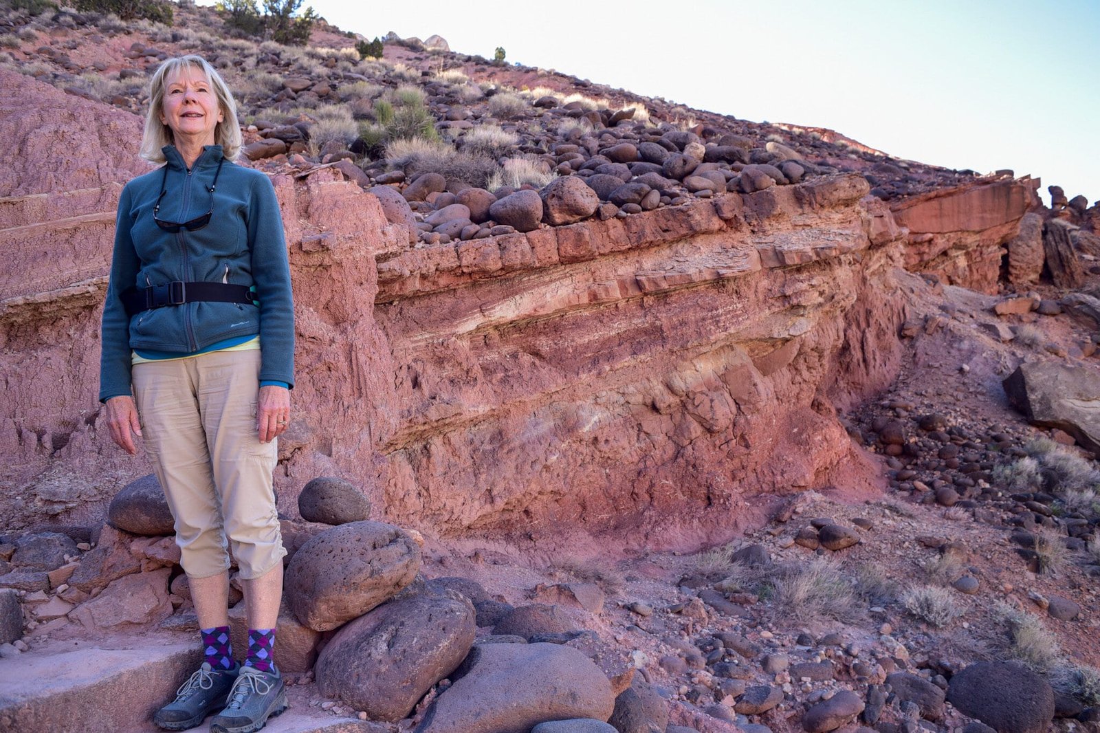
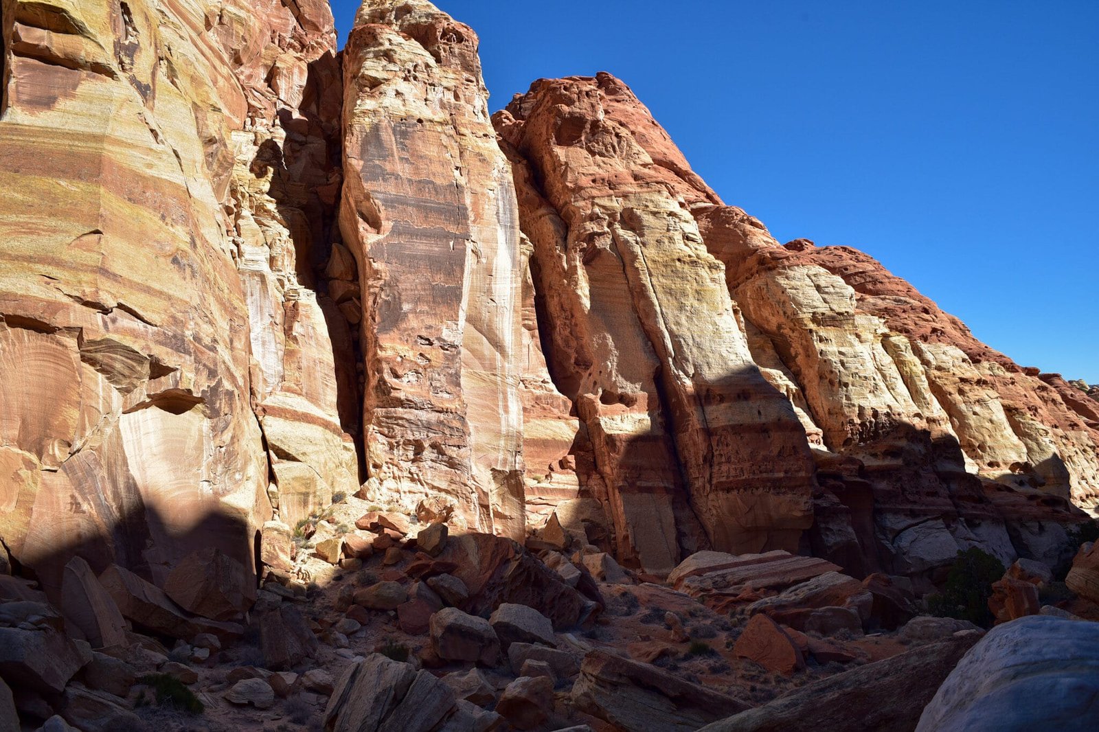
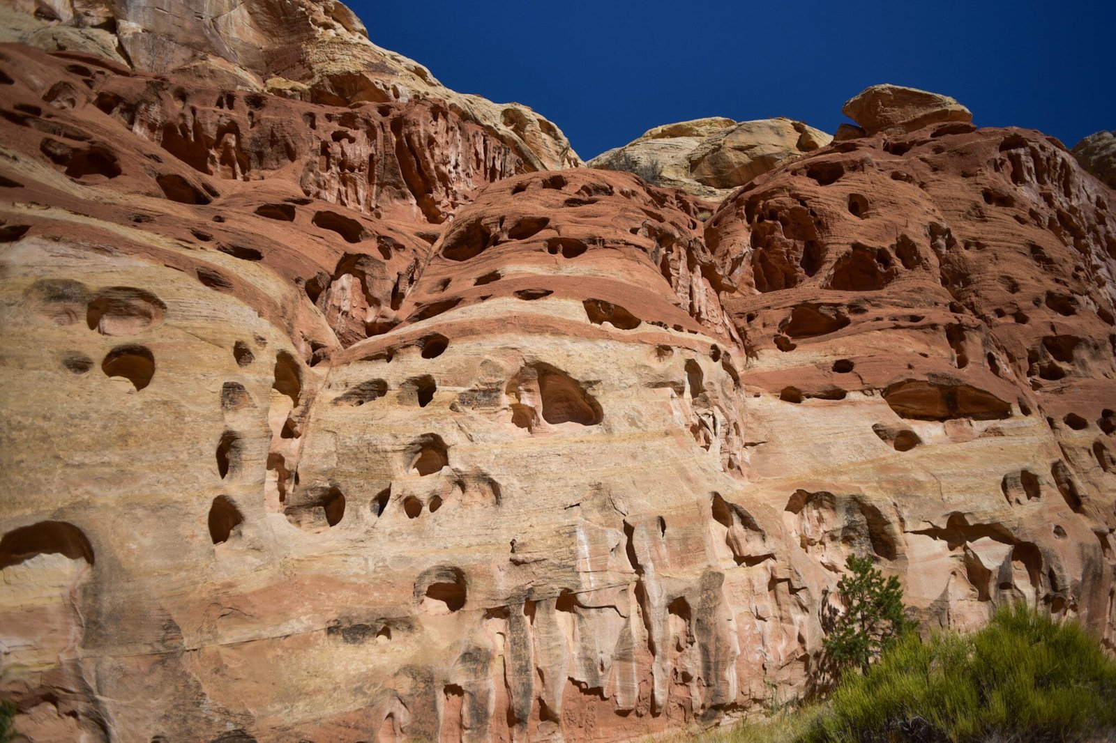
The trail goes around these rocks and into the canyon. Notice how many thin sedimentary layers there are.


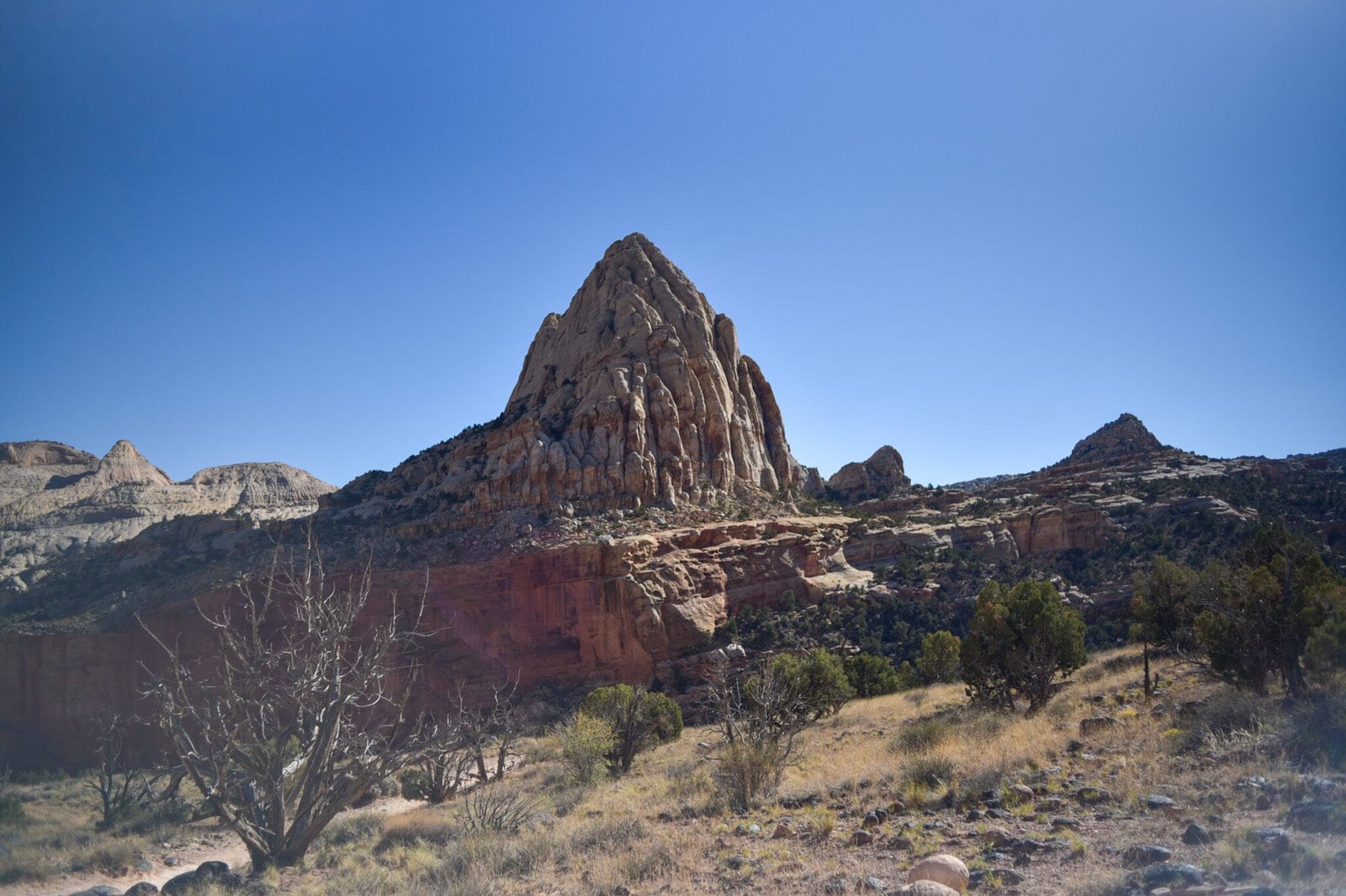
The trail up to the two observation points climbs to the left up the ridge in the background.

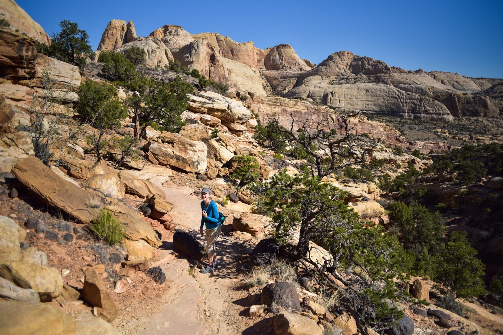
You can see people on the canyon trail among the trees.


Heading to the north observation point.


Down a longer trail to the south observation point.


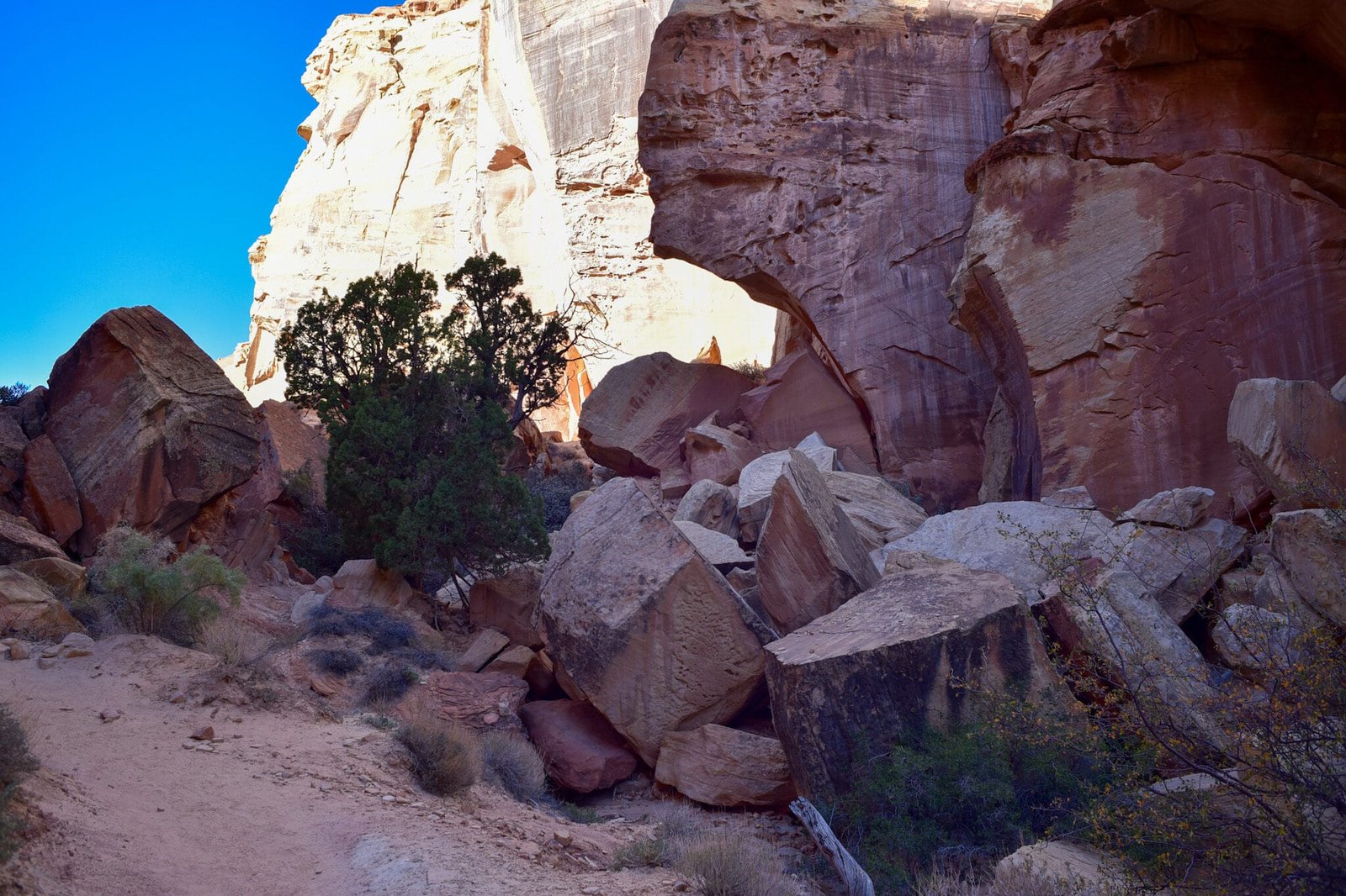
That’s it for the Cohab Canyon hike. We lunched in the shade of giant boulders then retraced our steps back to Fruita.
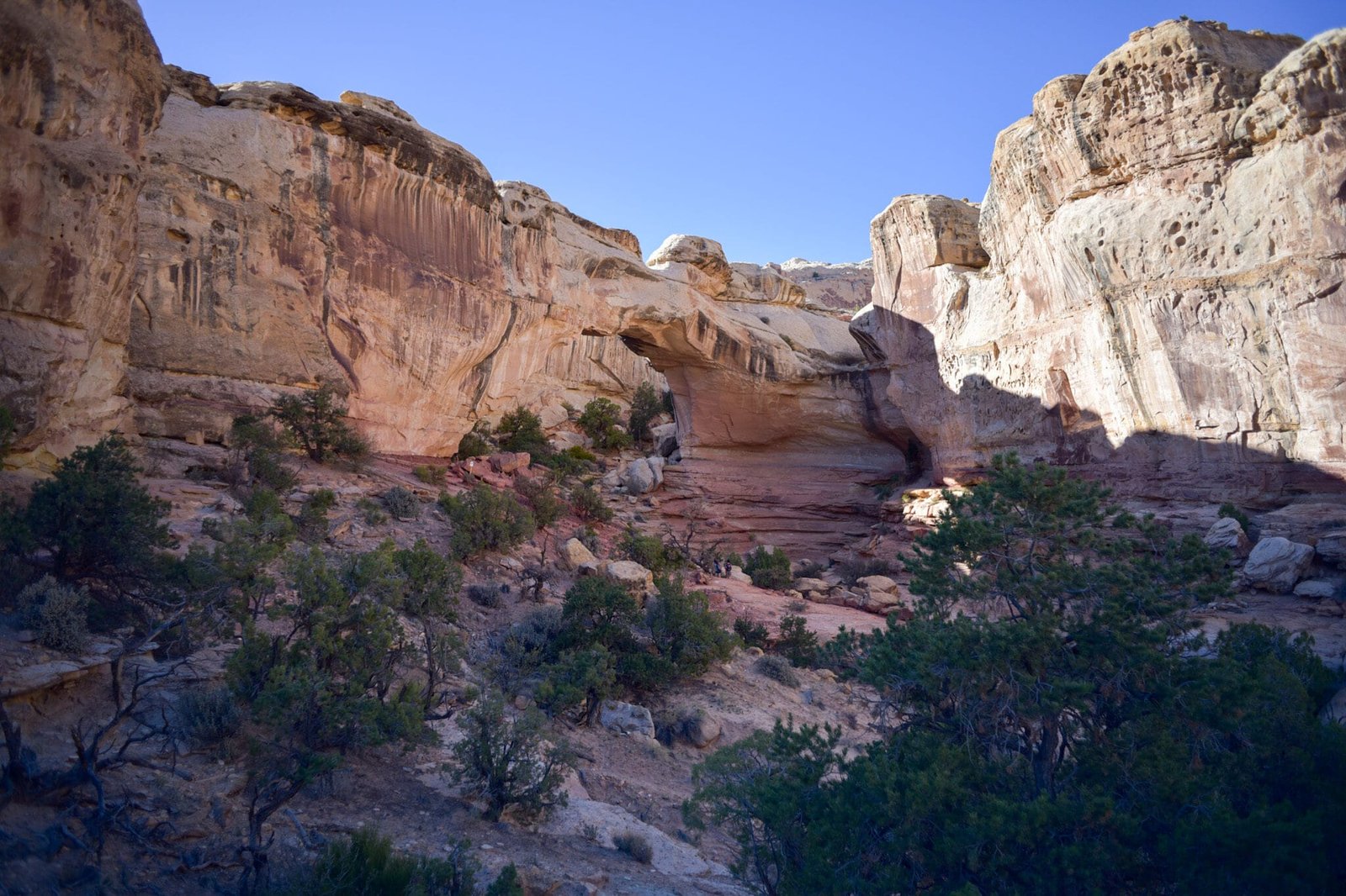
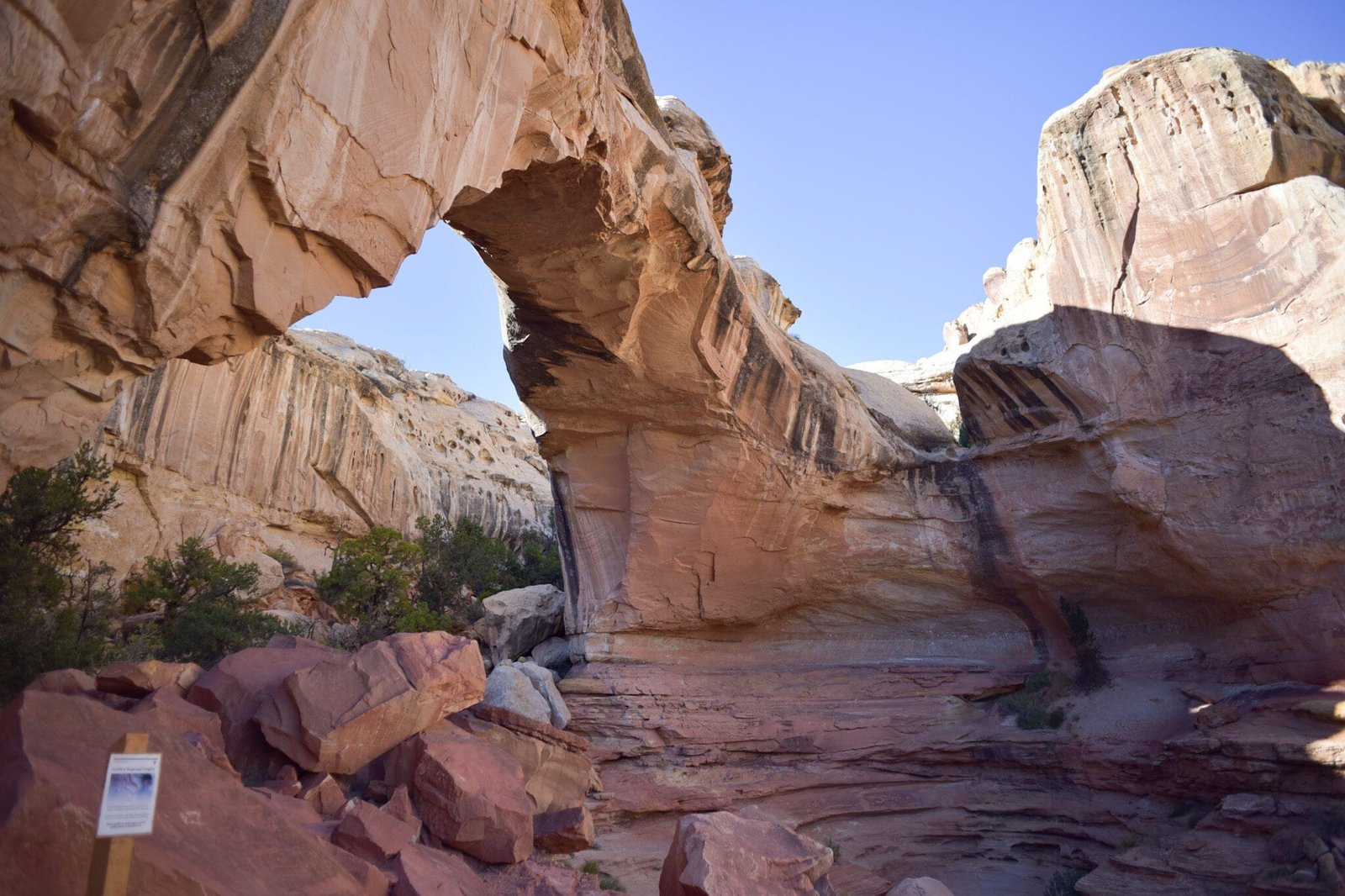
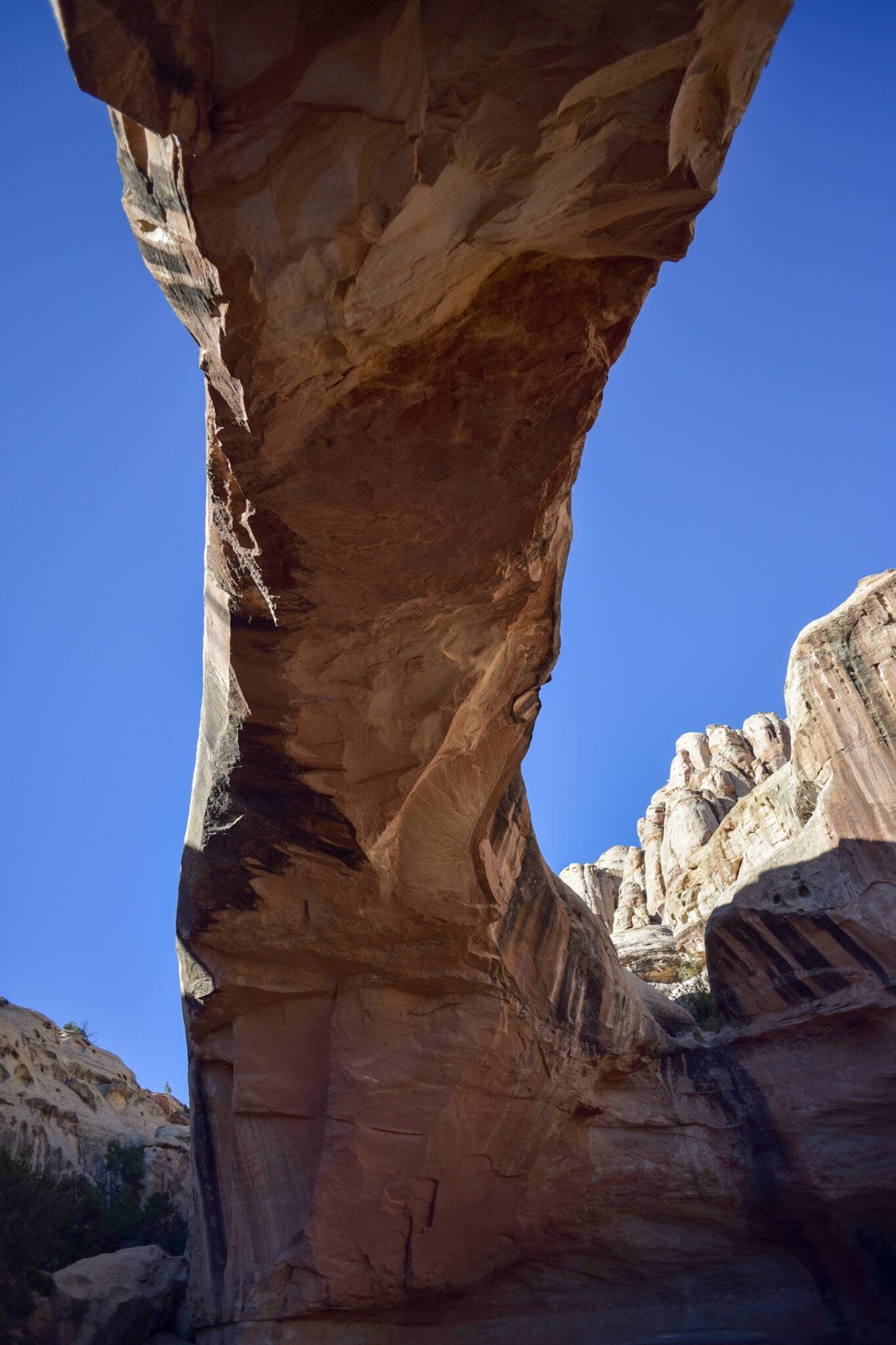
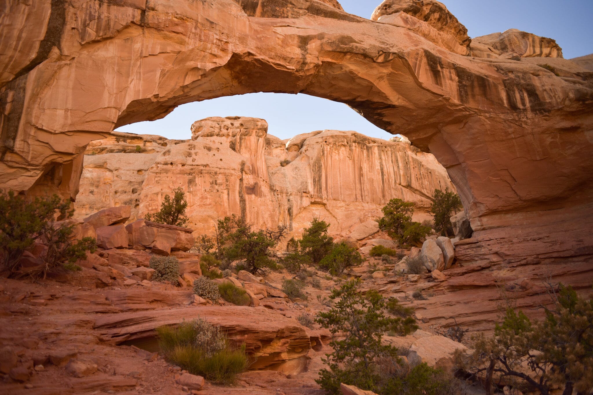
After stopping by Gifford House to buy a cherry pie and cinnamon roll, we drove to the Hickman Bridge trailhead. This walk involved more switchbacks, but rewarded us with a look at a spectacular natural bridge.